Mission: Crash Investigation
Current Practice Using Survey Total Stations
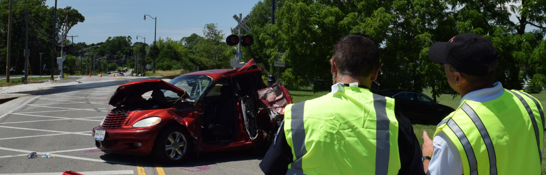
Current practice is to determine the extent of evidence to be gathered based upon the nature of the incident. However, it is not always apparent at the time which the data from a particular crash will be important. Police and other public safety agencies are therefore left to balance the value of the information that could be gathered with the cost of collection. These costs are not insignificant and include the time taken by officers, the substantial inconvenience to the public of temporary road closures and the cost of equipment and training for accurate measurement of the crash scene.
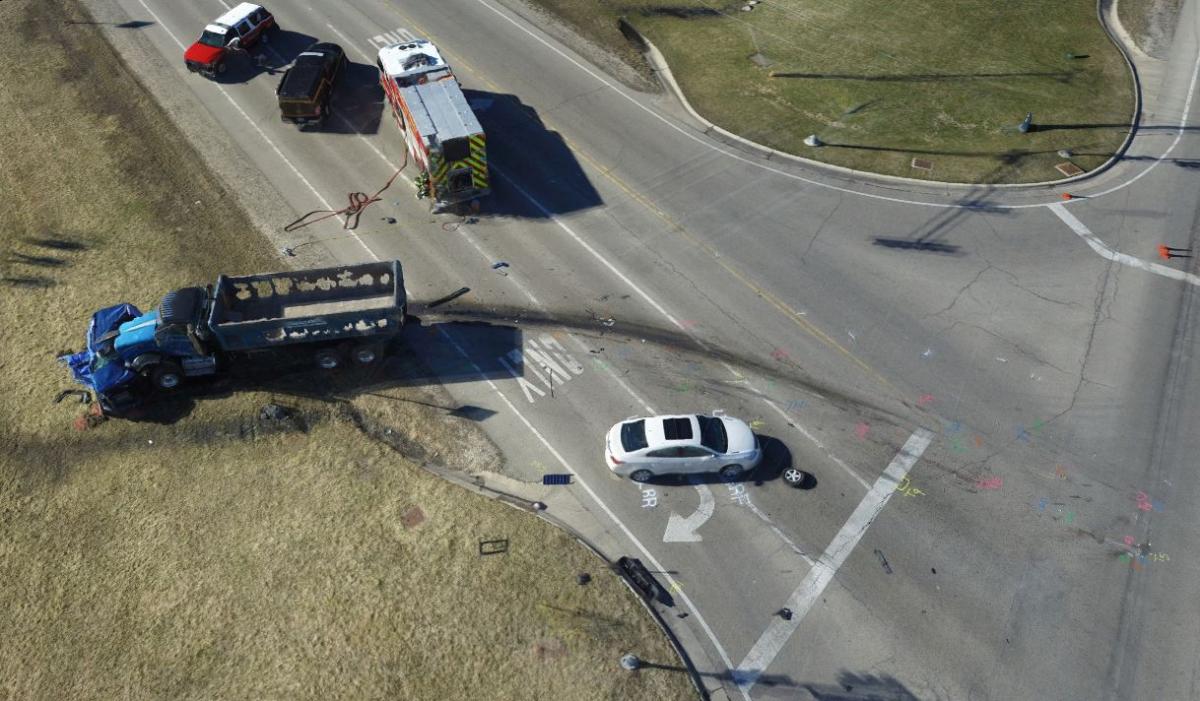
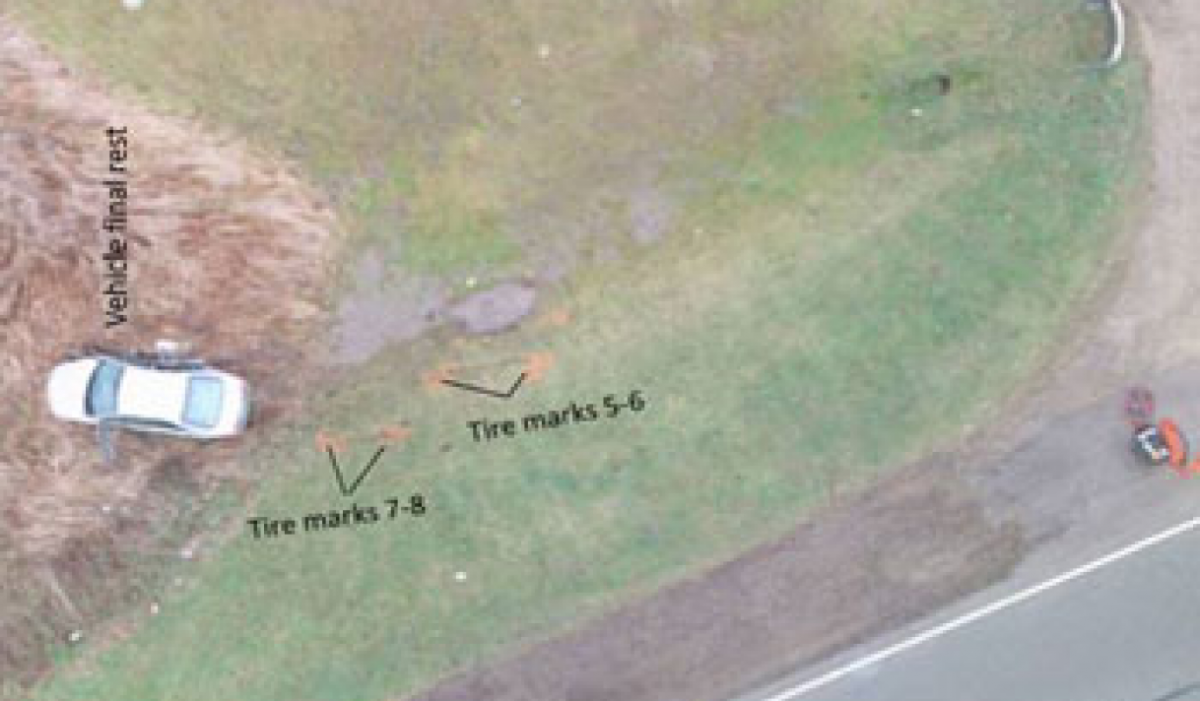
When a thorough crash investigation is warranted, a common approach is to perform a scene survey using a Total Station and to gather photographic evidence of the broad scene and the damage to individual vehicles. An investigation of this type typically takes 3-5 hours and gathers hundreds of data points that can later be used to diagram the scene accurately. Both the initial data capture and the subsequent diagramming are time consuming. There is a need for a better solution.
Performance Analysis
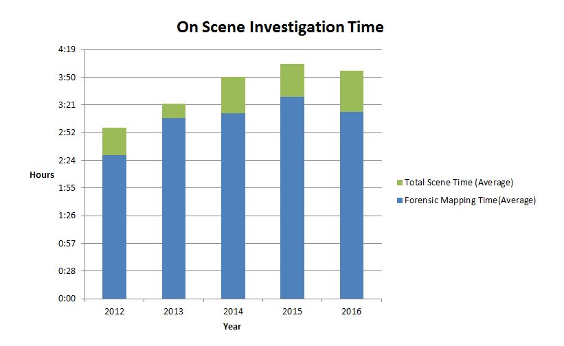
On Scene Crash Investigation Time
Figure 1 shows the average elaspsed time for on scene crash invesigtaion for the Lake County Major Crash Assistance team for the period from 2012-2016. The chart also shows the average elapsed time required for the forensic mapping tasks that are performed on site. It is apparent from the charts that forensic mapping consistently consumes more than 80% of the total on scene time. The mapping process using traditional engineering survey stations is the longest duration task on the critical path to reopening the roadway.
During late 2015 and 2016, the Lake County Major Crash Assistance Team evaluated the role that sUAS can play in reducing the time required to complete the forensic mapping of crash scenes by conducting the mapping using both traditional engineering station and sUAS photogrammetric techniques in parallel. Figure 2 shows the time required using each technique.
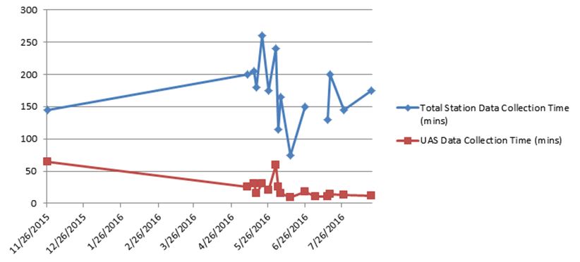
The average sUAS based data collection time was 23 minutes and the average Total Station data collection time was 171 minutes. On average the use of sUAS alone would have reduced the on site scene invesigation and road closure times by 148 minutes or two hours and twenty-eight minutes.
Photogrammetric Accuracy
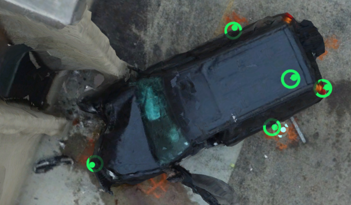
Several techniques have been used to validate the accuracy of linear measurements achieved using sUAS. We have compared against measurements taken on the ground with tape, against Google Earth and against data from the GIS division of Lake County. These comparisons show an accuracy for the photogrammetric models of +/-0.3%. We plan to prepare a more formal statistical analysis of the accuracy of our results against the measurements from the Total Station, but at present this level of accuracy is more than sufficient for our needs, so further validation has not been a high priority.
New Technology, New Challenges
As is often the case, new technology comes with some new challenges.
Limited Operating Conditions
Depending on the UAS that is deployed there are limitation to the conditions under which they can be operated. A fairly typical set of operating parameters might be
- Maximum wind speed 20-25 knots; higher with experienced pilot.
- Temperature 14oF to 104oF
- Limited Precipitation, Fog or Smog
FAA Part 107 regulatory environment
- Visual Line of Sight Operation (VLOS) only
- Flight below 400' above ground level
- Daylight and civil twilight unless operation with a night waiver
- Pilot must pass FAA knowledge test every 24 months
- Require airspace authorization to operate in controlled airspace